
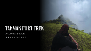
Maharashtra is nothing less than a paradise in the monsoon season. Its largest mountain Range- Sahyadri, attracts thousands of trekkers every year in the monsoon. Takmak Fort, Vasai, is one of the surreal trails in Sahyadri near Mumbai.
Takmak Fort Trek offers everything from hiking trails, waterfalls, and rivers to rock climbing. If you are someone who is looking for an all-rounder hike near Mumbai, Takmak Fort is for you.
In this blog, I will tell you everything about the trek, from food availability to the trail details.
Table of Contents
History of Takmak Fort
Early Days (12th Century):
The fort’s construction dates back to the 12th century, attributed to King Bheemdev.
Initially served as a watchtower to monitor trade routes passing through the Vasai region.
Shifting Power (16th-18th Centuries):
Shivaji Maharaj captured the fort along with Kohaj and Asheri, but its control changed hands frequently.
The Portuguese gained control at some point, followed by the Marathas reclaiming it after the Battle of Vasai in 1739.
However, due to a peace treaty, it returned to Portuguese hands until it was finally captured by the British in 1817.
Later Developments (19th-20th Centuries):
During British rule, the fort primarily served as a prison.
The 19th century saw a decline in its strategic importance, leading to gradual decay.
Today, the fort stands in ruins, but still attracts visitors for its historical significance and scenic trekking route.
How to Reach Takmak Fort
Public Transport to Reach Takmak Fort
It is recommended to bring your personal vehicle for this trek. Otherwise, you can get to Virar station and catch an auto to Sakwar Gaon.
There are public transport buses available too. Get down at the highway itself and walk towards the Takmak Fort Hiking point.
You can park your vehicles here, and there is no parking charge for parking.
General Information About Takmak Fort
Entry Fee
There is no entry fee for this trek.
Opening Hours
24 hours.
Takmak Fort Height
1899 ft
Takmak Fort Trek Distance
10 KM. (to & fro)
Difficulty Level
Medium. The trail is easy to medium but requires a lot of physical endurance.
Duration of Takmak Fort Trek
3-4 hours one way! Could take more time in monsoon due to terrain difficulty.
Things to do at the Takmak Fort
Trekking:
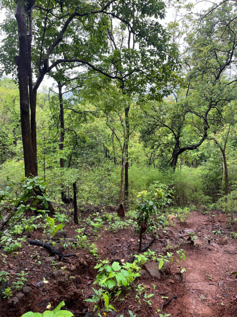
To reach the summit, you will need to follow a trail that is known to be medium to moderately difficult. The terrain offers surreal landscapes including open fields, dense forests, ridge walks, and a final climb.
Panoramic Views:
Once you reach the top, you’ll get to watch breathtaking panoramic views of the surrounding valleys. On a clear day, you can see for miles! In monsoon, the valleys hide into the fogg and clouds.
Explore the Ruins:
The fort itself is in ruins, but there are still some parts of the fort to explore. You might see water cisterns from a bygone era.
Bird Watching:
The dense forest around the Takmak Fort is a great place for bird watching. Keep an eye out for a variety of bird species!
Food Availability at Takmak Fort
This is a widely unexplored trek. Very few people are aware of this place. So, you will not find any food stalls in the base village.
This is a long trek and tests endurance. Ensure you carry enough food and water with you. Virar station is the last point where you can buy food.
My Personal Experience of Trekking Takmak Fort
Do you know why is this fort unexplored by many? Because of the challenges it offers, rough terrain and a whopping trekking distance of 10 kms.
In this reels era, all the beautiful forts that hold humongous historical significance have become a picnic spot for many!
My brother and I keep exploring exciting historical sites and forts in Maharashtra, try to know the history and on one fine Sunday Morning, we decided to climb Takmak Fort.
We usually carry food and water everytime we trek, but that day for some reason we did not. Those 10 kms climbs without eating anything will never be forgotten in my entire trekking life!
When we reached the base village, we were shocked to see no crowds of trekkers. There were very few locals who were busy in their day-to-day chores. They were hesitant to communicate at first but were nice and helped us navigate the route. Yes, for around 1-2 kms!
We found it very difficult to navigate the route as there are no signs for trekkers. Also, there were no people at all as we proceed. Then my brother found out the green trail on Google Maps and we started following it.

BUT, but, but! At some places, we really had to rethink our reliance on Google maps. At so many places, the grass had grown taller than us, trees were broken and had fallen on the ground looking similar like road-closure! It made us feel like there is no way further. But there was!
If you are hiking this trail, please rely on the green trail on Google maps or the trail we have mentioned below.
After an hour of trekking, we were already hungry and reached the peak of a hill, only to find that we had to climb much more after this to reach the summit. That was not even the half of the total hike.
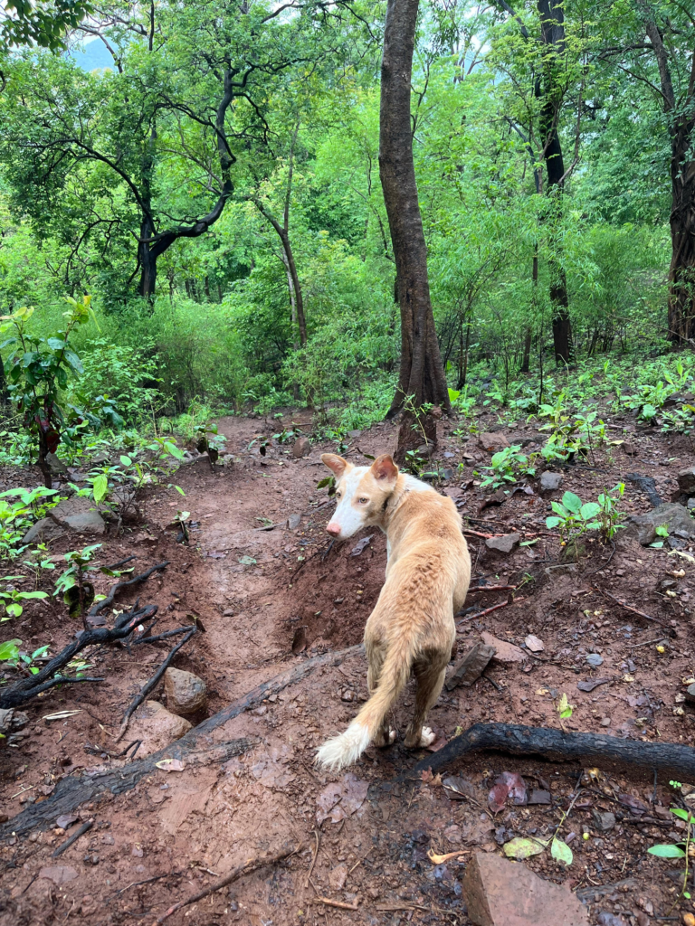
At this point, we were accompanied by 2 local dogs, our only friends, en route!
We trekked a couple more hills and the more we were moving upward, the winds started getting harsher due to secluded inclined land and rock patches.
The wind was cold enough to run a shiver through our spine and the fogg was also getting denser. This is the fun part of trekking in Sahyadri, because before you start trekking, you will be irritated by the scorching heat but once you go up there, the winds and the fogg will leave you shievering.
We were tired so we decided to rest for a while. This is when we realized that we were now super hungry. We also did not know how much more we had to trek. But the forest landscape was so good and peaceful, undisturbed by human interference.
We saw a waterfall where we spotted the first navigation sign and we were so relaxed that we didn’t miss our way. If you are trekking without the help of a guide, look for this sign. It is nothing but a saffron cloth tied on the tree near a waterfall. After this, there is no way you can get lost.
My brother and I had good knowledge of navigating jungle routes, so we did not lose track.
It is absolutely advisable for a newbie to take help from a local guide from a base village. It can get tricky to find a way as the jungle is dense and you can spot innumerable routes leading deep inside the jungle.
As per what a local told us, there are wild animals in the jungle and it’s not safe to wander around when you don’t know how to navigate back.
From the waterfall, you will see so many signs reaching the summit. Just reaching till this waterfall is a bit tricky task.
We had completed 75 percent of the trek by this time. Now, it also had started raining heavily and fogg was making it difficult for us to see properly. We sat there and rested for a while and did our favorite thing to do on treks- Sleeping on the bare ground! But we did not waste more time. Because, we were getting hungrier and wanted to finish the trek at the earliest, before we lose all of our energy!

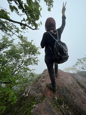
The next patches were the most difficult ones as it included rock climbing. Due to rain it had became really slippery. I am a petite woman; hence rock climbing is always challenging for me.
The real challenge was to withstand wind that could literally move us, the piercing rain, and the fog. But, we did it! We reached the summit.
The views from the summit were insanely beautiful. The fort is at the elevation of 2000 ft from the sea level; hence windy and foggy.
There were many groups that had already reached the summit and were eating their lunches. We were pretty tired and hungry. Little did we know that this wasn’t even a tip of the iceberg.
We explored the ruins of the fort and started descending. It was raining still and now the loose soil had turned into deeper mud patches.
My brother had worn regular shoes that could not withstand this rough terrain. Many times, we remove our shoes and trek bare foot. But this is not possible here! The gravel you will find here is sharp makes it almost impossible to walk bare feet.
As a result, his shoe sole was torn out in the mud. We had the entire descent to cover through the rocky, pebbly, and muddy terrain while we were hungry and exhausted.
We started walking slowly and after a couple of hours we reached the waterfall and he washed his feet. I gave him my socks to layer up.

The entire descent was challenging for him because the mud patches were deeper than we thought they would be and without shoes it was difficult.
After hours of this great adventourous trek, we rushed to find a restaurant and hoggered the food.
| Read Also-> Kothaligad Trek: My Thrilling Experience |
Things to Keep In Mind While Climbing Takmak Fort
Guide
While its not absolutely mandatory to hire a local guide but it is highly recommended. The trail is unexplored and very confusing. There are higher chances of getting lost in the dense forest. Especially, the first-timers should hire a help due to lack of knowledge of Sahyadri trails and valleys. it’s better to be safe than sorry.
Best time to visit
There are many places where you will need to climb the rocks. The trail gets really slippery in monsoon. It becomes windy too. Winter, the drier time is better to hike this trail.
Water and Food availability
There is no potable water and food availability on the fort. Be sure to carry enough water and food.
Trekking shoes
No matter what you carry with you, but a great, sturdy shoes are a MUST! I remember trekking in monsoon where my brother lost his shoes in the multiple mud patches. Plus the rocky terrain makes it real difficult to walk without shoes.
Paid Trekking Groups for Takmak Fort Trek
Navigate your own way here!
Camping at Takmak Fort
Night Trekking
Things to Carry
- Water
- Snacks
- Cap
- Trekking Shoes
- Sunglasses
- Camera (Optional)
- Energy Powder or Glucon D powder
- Extra Pair of Clothes
Responsible Trekking in Sahyadri
- Be sure that you are only leaving footprints in the beautiful nature of Sahyadri.
- Do not litter garbage.
- Carry a garbage bag for your litter.
- Carry a metal water bottle rather than a plastic one.
- Carry your food in the lunch box rather than plastic bags.
- Avoid feeding wild animals.
- Do not harm plants and animals in the area.
- Do not contaminate the water bodies.
- Do not play loud music in the jungles. Enjoy nature’s peace and let everyone enjoy.
- Do not engage in activities like consuming drugs and alcohol.
- Do not write anything on the historic places such as walls.
- Sahyadri can be really unpredictable in terms of nature. Ensure you are taking every safety measure while wandering.
Frequently asked questions about Takmak Fort Trek, Vasai
1. Where is the Takmak Fort located?
It is located at Sakwar Gao, Vasai.
2. How to reach takmak fort, Vasai?
Take an auto to reach directly at the base village, Sakwar. Or Take a bus, get down right at the highway, just outside the village entrance.
3. What is the difficulty level of the Takmak Fort Trek, Vasai?
Moderately difficult
4. What is the entry fee for the Takmak Fort, Vasai?
There is no entry fee.
5. Are Takmak Tok and Takmak Fort same?
No. Takmak Fort is located in Vasai. Takmak Tok on the other hand is a clifftop of the Fort- Rajgad, situated in the Raigad district.
6. Is parking available at Takmk Fort, Vasai?
Yes, at the base village. At no charge.
7. Can I do the Takmak Fort trek on my own?
Yes. If you have a good knowledge of Sahyadri Terrains. It is an unexplored fort so you may get lost in jungles. Ensure you follow the waterway and the markings.
8. Is Takmak Fort for beginners?
No. It includes high endurance and slippery rock climbing.
9. How long is the Takmak Fort, Vasai?
The total distance for the Takmak Fort Trek is 10 KM, to and fro.
You May Also Like->

Isla Moon naturally like your web site however you need to take a look at the spelling on several of your posts. A number of them are rife with spelling problems and I find it very bothersome to tell the truth on the other hand I will surely come again again.
I’d incessantly want to be update on new articles on this web site, saved to favorites! .